
 By
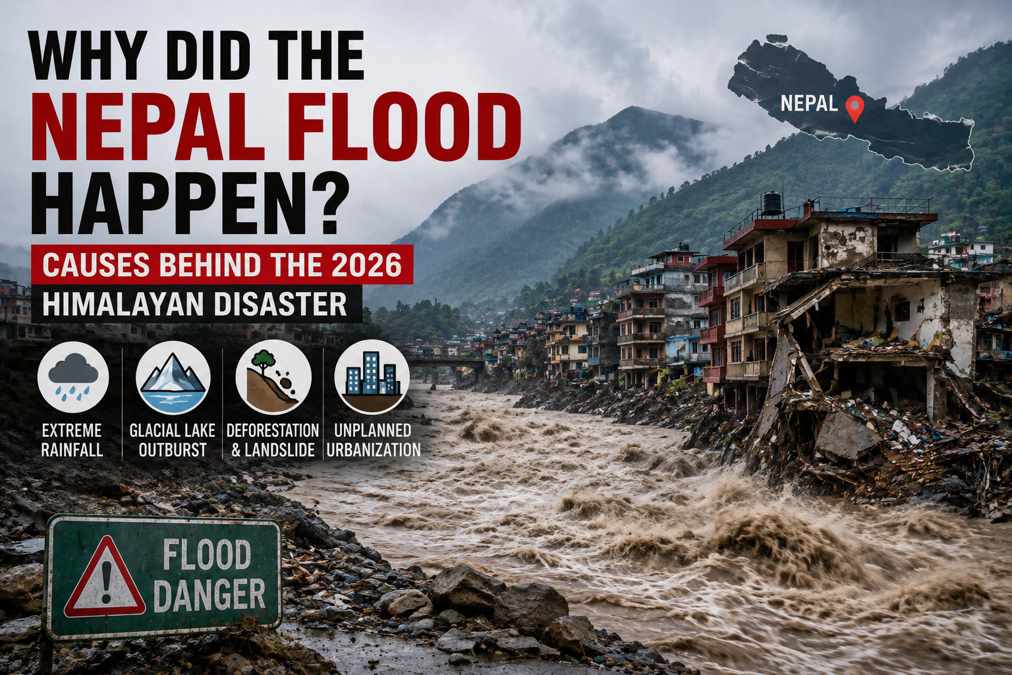
By Why Did the Nepal Flood Happen? Causes Behind the 2026 Himalayan Disaster
The Nepal flood of 2026 has become one of the most devastating Himalayan disasters in recent years, leaving communities across northern Nepal and neighboring Tibet facing widespread destruction. The event was particularly unusual because it was not simply a conventional rain-driven flood. Preliminary scientific investigations indicate that a glacial collapse involving ice and rock triggered a massive debris flow, temporarily blocked a river, and then unleashed a destructive flood downstream.
The disaster occurred on August 26, 2026, in the mountainous Nepal-China border region. Powerful flows of water, mud, rocks, and ice moved through river valleys, damaging homes, roads, bridges, hydropower infrastructure, and border facilities. Rescue operations have been complicated by damaged roads, unstable terrain, debris, and continuing risks in affected valleys.
But what exactly caused the Nepal flood? Was it an earthquake, heavy rainfall, climate change, a glacier collapse, or a combination of several factors? Here is what scientists and authorities currently understand about the disaster.
What Happened During the Nepal Flood?
The event began high in the Himalayas, around the Langtang Lirung area, at an elevation of approximately 5,200 metres. A substantial section of glacial ice and surrounding rock detached from the mountain and rapidly moved downslope. According to preliminary USGS analysis, the collapse generated seismic energy equivalent to a magnitude 5.2 earthquake. Importantly, however, the seismic signal was generated by the landslide itself rather than by a tectonic earthquake.
As the ice and rock descended, they gathered additional debris, sediment, water, and boulders. This transformed the initial collapse into a fast-moving debris flow. The material entered the river system and appears to have temporarily blocked the Lhende Khola, creating conditions for a sudden release of water and debris downstream.
The resulting flood travelled roughly 100 kilometres, affecting communities and infrastructure along the Bhote Koshi and Trishuli river systems. The speed and volume of the surge meant that people living downstream had very little time to react.
Was an Earthquake Responsible?
One of the earliest explanations for the disaster involved an earthquake.
Initial reports suggested that a magnitude 4.4 earthquake might have triggered the mountain collapse. However, further analysis by the U.S. Geological Survey (USGS) changed that understanding.
Scientists examining seismic waves, satellite imagery, and the location of the event concluded that the seismic energy came from the massive glacial collapse and landslide rather than from a tectonic earthquake. The collapse itself produced seismic energy equivalent to approximately a magnitude 5.2 event.
This distinction is important because it changes how the disaster should be understood. The earthquake was not the primary cause. Instead, the collapse of ice and rock was the initiating event, followed by a chain of processes that eventually produced the catastrophic flood.
How Did the Glacier Collapse Cause a Flood?
A glacier collapse does not automatically create a massive flood. In this case, several processes appear to have occurred in sequence.
The first stage was the detachment of a large mass of ice and rock high on the mountain. The material then fell approximately 1,200 metres toward the valley floor. As it accelerated, it gained enormous energy and picked up additional rocks, sediment, ice, and water.
The debris then entered the Lhende Khola river system. The enormous quantity of material temporarily obstructed the river, effectively forming a natural dam. Water accumulated behind the blockage before the obstruction failed.
Once the blockage gave way, a powerful surge moved downstream.
The sequence can therefore be simplified as:
Glacier and rock collapse → landslide → debris accumulation → river blockage → sudden release → flash flood
This cascading process explains why the resulting flood was so powerful despite the absence of extreme rainfall at the time.
Why Was There So Much Water?
Another important question is how a mountain collapse could produce such a large flood.
The answer is that the disaster involved much more than solid ice falling from a glacier. The collapsing material contained ice, rock, sediment, and water. As the mass moved rapidly downhill, it incorporated additional material and interacted with the existing river system.
The energy generated by the collapse may also have caused some ice to melt rapidly. Scientists are still studying exactly how much water came from melting ice, displaced river water, and other sources.
Researchers have described the event as a cascading mountain hazard rather than a simple flood. Ice, rock, water, sediment, and gravity interacted in a matter of minutes to produce an extremely destructive flow.
Did Climate Change Cause the Nepal Flood?
Climate change is an important part of the discussion, but scientists are being cautious about saying that global warming directly caused this particular collapse.
There is currently evidence that the Himalayan region is warming rapidly, causing major changes to glaciers, snow cover, permafrost, and mountain slopes. These changes can make high-altitude environments increasingly unstable.
Warmer temperatures can contribute to glacier retreat and melting. They can also affect frozen ground, known as permafrost, which can help stabilize mountain slopes. When ice and frozen material weaken, some slopes may become more susceptible to rockfalls, landslides, and other failures.
However, scientists have emphasized that it is too early to establish a direct causal link between climate change and the specific glacier collapse behind the August 2026 flood.
A more accurate explanation is that climate change may be increasing the background risk of high-mountain hazards, while the immediate trigger for this particular event was the collapse of ice and rock.
Why Was the Flood So Difficult to Predict?
One of the most concerning aspects of the disaster was that traditional flood-warning indicators were largely absent.
There was no major rainfall event immediately preceding the flood, and the skies were reportedly clear in some affected areas. This meant communities could not rely on the usual warning signs associated with heavy-rainfall flooding.
This type of event demonstrates the challenge of preparing for high-altitude cascading hazards. A dangerous process can begin many kilometres upstream and at several thousand metres above nearby settlements.
By the time the flood reaches a populated valley, there may be only minutes available for evacuation.
Scientists and disaster-management experts therefore emphasize the importance of combining traditional flood monitoring with satellite observation, seismic monitoring, river-level sensors, hazard mapping, and improved emergency communication systems.
Where Did the Nepal Flood Cause the Most Damage?
Northern Nepal’s Rasuwa district was among the areas heavily affected. The initial flood moved through the Lhende Khola and connected river systems before affecting downstream locations along the Bhote Koshi and Trishuli rivers.
Communities including Timure and Syapru Besi suffered major damage. Further downstream, areas of Nuwakot and Dhading were also affected. Across the border, the Gyirong area of Tibet experienced severe impacts.
The flood destroyed or damaged roads, bridges, homes, hydropower infrastructure, and other essential facilities. Preliminary reports indicated that around 19 bridges and approximately 40 kilometres of roads were washed away or heavily damaged, making rescue operations significantly more difficult.
What Made the Disaster So Destructive?
Several factors combined to increase the impact.
1. Extreme Mountain Terrain
The Himalayan landscape is steep and unstable. Once a large mass begins moving downhill, gravity can rapidly accelerate the material.
2. Large Amounts of Debris
The flow was not simply water. It contained rocks, mud, ice, sediment, and other material, making it much more destructive than an ordinary river flood.
3. Temporary River Blockage
The debris appears to have obstructed the river before the blockage failed. This can create a sudden surge with very little warning.
4. Fast-Moving Floodwaters
Water levels in parts of the river system reportedly rose dramatically in a very short period. Such rapid changes can leave communities with almost no evacuation time.
5. Vulnerable Infrastructure
Roads and bridges in mountainous regions are essential for connecting remote communities. Once these are destroyed, rescue teams can struggle to reach affected populations.
What Does the Nepal Flood Mean for the Himalayas?
The 2026 Nepal flood highlights a growing challenge for Himalayan countries: mountain hazards are becoming increasingly interconnected.
A glacier change can contribute to slope instability. A slope collapse can create a landslide. A landslide can block a river. A blocked river can suddenly release water and debris. That flood can then damage infrastructure dozens of kilometres downstream.
This means disaster planning cannot focus on individual hazards in isolation.
The Himalayan region contains extensive glaciers and provides water to hundreds of millions of people. Changes in glaciers, snow, permafrost, and mountain ecosystems therefore have consequences far beyond the immediate areas where these changes occur.
How Can Nepal Prepare for Future Floods?
The disaster reinforces the need for stronger early-warning and risk-management systems.
Nepal and other Himalayan countries can improve preparedness by expanding satellite-based monitoring, river sensors, seismic networks, glacier observation, landslide monitoring, hazard mapping, and emergency communication systems.
Communities located downstream from glaciers and unstable mountain slopes also need evacuation plans and clearly identified safe areas.
Infrastructure planning is equally important. Roads, bridges, hydropower projects, and buildings in high-risk valleys need to account for increasingly complex hazards rather than focusing only on ordinary seasonal flooding.
International cooperation will also be essential because Himalayan rivers and hazards cross national boundaries.
Conclusion
The question “Why did the Nepal flood happen?” does not have a single simple answer.
The immediate trigger of the August 2026 disaster appears to have been a major glacial collapse involving ice and rock, followed by a rapidly developing landslide and debris flow. The material entered the Lhende Khola, appears to have temporarily blocked the river, and then produced a powerful downstream flood when the blockage failed.
An earthquake was initially suspected but later ruled out as the trigger by seismic analysis. Meanwhile, scientists are investigating how warming temperatures, glacier change, and permafrost instability may influence the broader risk of such events.
The Nepal flood of 2026 is therefore more than a story about rising water. It is a warning about the complex interaction between glaciers, mountain slopes, rivers, climate change, infrastructure, and human settlements.
As the Himalayas continue to change, better monitoring, early-warning systems, responsible development, and stronger disaster preparedness will be increasingly important for protecting communities living in these vulnerable mountain valleys.